
Walk a Parma Heights Street Directory
For a named street in Parma Heights, the county parcel is the stable starting point. Cuyahoga MyPlace can connect an address to a parcel card, while the Recorder connects that parcel or address to filed instruments. A voter lookup has a much narrower role: Ohio's public tool checks an individual registration after a first name, last name, and county are supplied. It does not offer a street search. Historic address directories can add a dated household listing, but neither a deed nor a directory entry proves present occupancy.
- Enter the current address in MyPlace with Parma Heights selected, and save the displayed parcel ID and situs spelling.
- Open the parcel card and keep the situs field separate from any owner or mailing field.
- Use View Map only for visual parcel context. Record each parcel separately if nearby parcels are selectable.
- Search the Recorder by parcel ID or property address, then verify a candidate instrument through its legal description and image.
- For an identified voter checking a registration, use the state tool with the required name and Cuyahoga County. For an existing geographically defined election record, ask the Board of Elections through its public-records channel.
- Consult a dated criss-cross or By Address volume at the library for an historical street sequence, keeping its year and page with the entry.
The steps form a Parma Heights evidence trail, not a household roster. A parcel owner, instrument party, registration check, and printed directory listing each answer a different address question.
Use MyPlace for Parma Heights Streets
For Parma Heights property work, the county calls MyPlace a free public service, not the official record. It offers City, Owner, Parcel, and Address routes, with a View Map action from the search context. Once a parcel opens, its available tabs can include General Information, Transfers, Values, Land, Building Information, Building Sketch, Other Improvements, Permits, Property Summary Report, and Tax by Year. Fields can vary by parcel, so an empty tab is not a finding.
| MyPlace field | Form | How it helps an address search |
|---|---|---|
| City | Selector | Choose Parma Heights to narrow a municipal address search. |
| Search By | Mode control | Choose Owner, Parcel, or Address before entering a term. |
| Search term | Text input | Enter the value that matches the selected mode. |
| Search Results | Action | Displays matching parcel rows and their parcel identifiers. |
| Parcel ID / View Map | Link or action | Opens the parcel record or its spatial context. |
Before using the field sequence, see the county's real-property information guide.
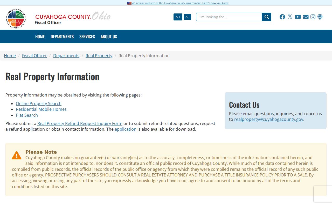
The county guide helps place MyPlace inside the Fiscal Officer's real-property system, rather than treating a screen display as the controlling record.
Label Parma Heights Address Fields
Address terms that look alike can describe different things on a Parma Heights street. The county parcel display can show a physical situs address and a separate mailing context. A permit result can carry an applicant or contractor field. A printed directory gives the address its publisher printed for that edition. Preserving those distinctions is the most useful comparison in a Parma Heights street directory, because a match in one field does not transform it into another kind of evidence.
| Source field | What it identifies | What it does not establish |
|---|---|---|
| MyPlace situs | The parcel's physical property presentation. | A mailing destination or a current household list. |
| MyPlace mailing context | Where county notices may be sent. | The parcel's physical location. |
| Recorder instrument | Parties, dates, and legal description for a filed transaction. | Current presence at the address. |
| Permit row | A municipal application or project field tied to a property. | Who resides there. |
| Directory entry | A printed listing at a particular publication date. | A modern parcel or occupancy finding. |
This source-to-source comparison follows the county's own warning that the original county record controls if it differs from the MyPlace public-service display.
Search Parma Heights Deeds by Address
The Cuyahoga Recorder Advanced Search is the Parma Heights address bridge from a parcel card to filed documents. It accepts property address, parcel ID, party names, document number, recorded or instrument dates, volume/page, and legal-description-oriented inputs. The Recorder states that filed documents run from 1810 to the present. That date range describes filed documents, not a promise that every search term or image is equally complete.
- Parcel
- A county property identifier that anchors a physical tract or unit in the property system.
- Situs address
- The physical property address shown for a parcel, distinct from a mailing field.
- Plat
- A recorded map that lays out lots, streets, or subdivisions and can help test an old address description.
- Criss-cross directory
- An address-first directory arranged to follow house numbers and streets rather than surnames.
Review the advanced index search before entering a query by parcel, address, or legal description.
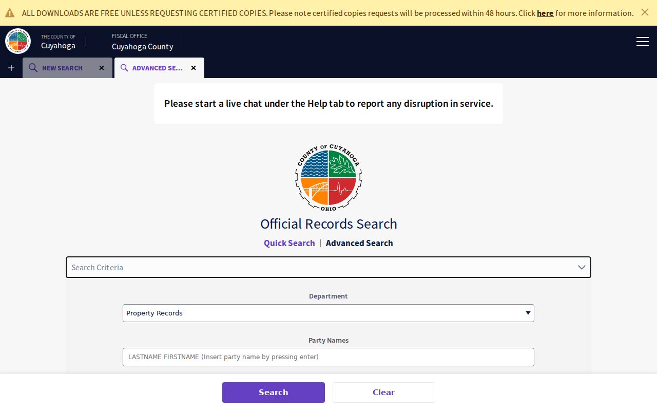
The advanced form shows why a parcel or legal description can resolve an address variation that a simple street-name query misses.
Confirm Parma Heights Street Instruments
A Parma Heights result row is only the beginning. Note the document number, recorded date, instrument date, grantor, grantee, document type, parcel reference, property address, legal description, and whether an image is available. Then inspect the image, especially when OCR, a street spelling, or a lot number is involved. The Recorder's quick search distinguishes index-only searching from index plus full-text OCR, so OCR should help discover a record, not replace the image.
The Fiscal Officer's transfer and recording information separates land-record administration from the act of presenting a new instrument for recording. For a specific historic copy or a question the online search cannot resolve, use the Recorder office, its public-record request route, or a telephone inquiry at 216-443-7420. The county lists the Recorded Documents office at 2079 East Ninth Street, fourth floor, Cleveland, with weekday hours of 8:30 a.m. to 4:30 p.m.
Consult the county's transfer and recording services page for the office path behind the address search.
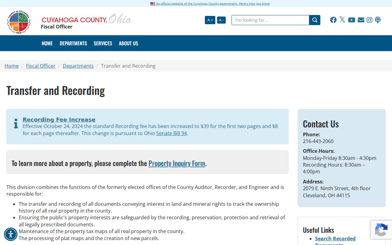
The office page is the appropriate route for record-copy and transfer questions that an address result cannot answer by itself.
Check Parma Heights Permit Addresses
The Parma Heights Building Department's public permit search is a useful transaction layer. Its Search by selector supports Permit #, Permit Date, Parcel, Address, Primary Contractor, and Business Name, with date fields for narrowing a date-oriented search. Result rows visibly label permit number, date, permit type, business name, parcel number, applicant name, contractor type, status, inspection request, and view. An application-party name should remain an application field, not a statement about a household.
Open the Parma Heights permit search when an address has a project or inspection question.
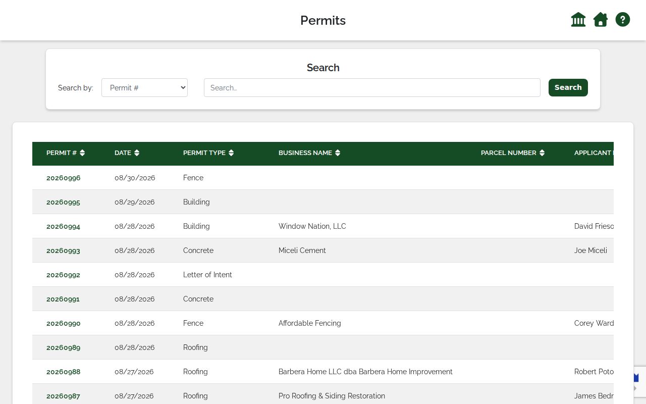
The permit interface documents address and parcel search modes, but the inspected portal did not display a reliable beginning date for its online index.
For an existing city-held permit record not exposed online, ask the Building Department with the address, permit number if known, and a date range. The department lists 6281 Pearl Road, 440-884-9607, and building@parmaheights.us. The city policy allows requests in person, by telephone, or in writing and may ask that a broad request be narrowed. A city office need not create a new report.
Read Parma Heights Street Directories
For a past Parma Heights block, use an address-first volume rather than flattening entries from several years into one list. Cleveland Public Library documents Greater Cleveland By Address volumes for 1923, 1926, and 1960 through its then-current final year, plus criss-cross sections at the end of Cleveland City Directory volumes beginning in 1929. For Parma Heights, compare that route with the dedicated Parma and West Suburban directory sequence and verify the target street inside each volume.
The Parma series begins with a 1941 directory and has documented 1946 to 1963 editions; selected West Suburban editions follow from 1964 through 1979/80. Search directional prefixes, nearby house numbers, and spelling variants. Record title, year, page, and community code with each entry. For broader context, the Directory Book focuses on those collections and their access routes.
Use Parma Heights Street Archive Layers
When a Parma Heights online chain reaches an older parcel question, the County Archives property guide supplies the next route. It identifies tax records from 1819 to 1986, original map volumes from 1860 to 1945, and suburban atlases for 1852, 1874, 1892, and 1903. A map can test lot or street context; a tax record can add an assessed trail; a deed can document a recorded transfer. They should not be treated as interchangeable records.
See the county's property-research guide before requesting an older address record.
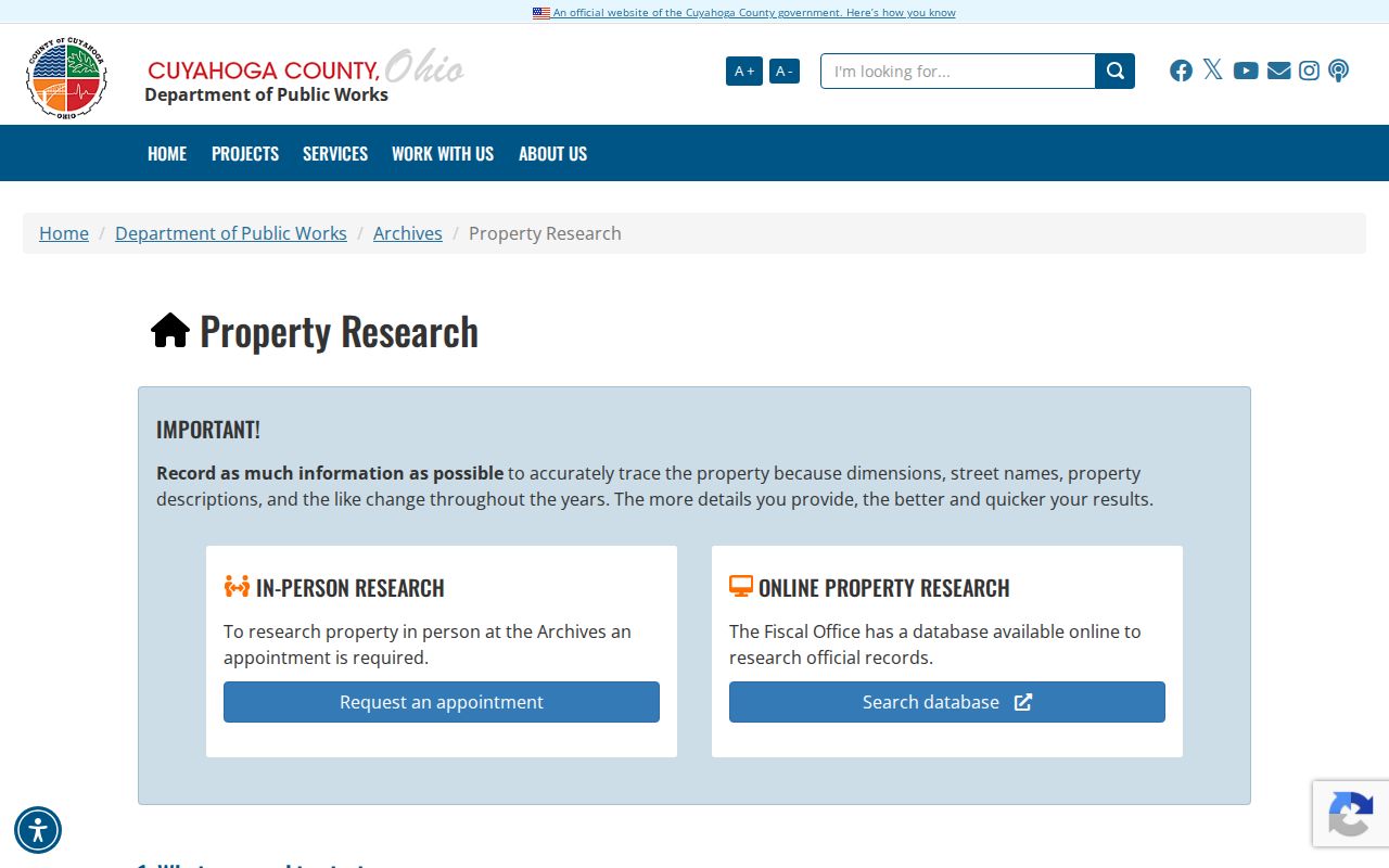
The guide directs historical property work beyond modern portal fields and notes that descriptions and street names can change over time.
County Archives research visitors handling Parma Heights material register for the reading room, and some work needs an appointment. The Archives asks researchers to identify a street address, parcel number when known, date range, and relevant volume or series. Email is available at archives@cuyahogacounty.gov; archive staff and an in-person appointment are the fallback when a source is not online.
Keep Parma Heights Map Claims Narrow
MyPlace links an opened Parma Heights parcel to View Map, and the county Advanced Map is a public entry point. That is enough to use parcel geometry as visual context. It is not enough to claim a documented buffer tool, a fixed layer legend, a measure function, or a stable parcel-map permalink. The accessible source did not expose those current controls. If a live map presents a selectable nearby parcel, record the displayed parcel ID and address, then verify it through its own parcel card.
Likewise, no official Parma Heights address-renumbering table, historic street-alias table, or citywide street-number grid was located in the researched sources. When an older number does not match, compare the deed's legal description, historic map or plat material, directory year, and parcel configuration case by case. A missing result can reflect a numbering change, a parcel split, a unit notation, a coverage gap, or a spelling variation.
Use the official USPS address lookup to confirm a delivery format for a particular address.
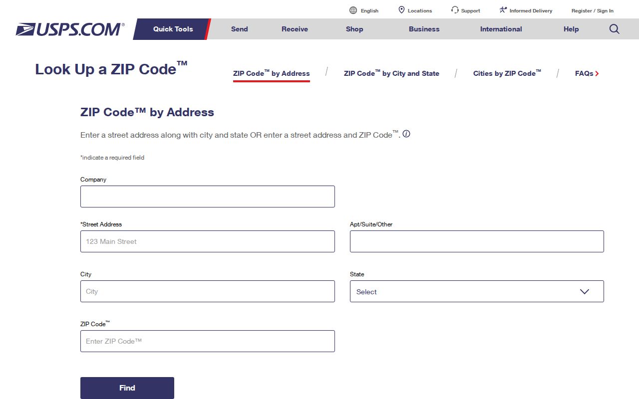
USPS can normalize a mailing address, but its result is postal information rather than a parcel, deed, or election boundary.
Compare Parma Heights Street Records
No single record set names every person connected to a Parma Heights address. The following coverage table keeps the record path, its use, and its access channel separate. The full Parma Heights street directory process relies on overlap: parcel data supplies the property anchor, recorded documents supply transaction details, and dated directories or city records add only the narrower evidence they were created to hold.
| Address record | What it can show | How to reach it |
|---|---|---|
| MyPlace parcel display | Parcel ID, situs form, property tabs, transfers, and map route. | Free online public-service portal. |
| Recorder index | Filed instruments, parties, dates, legal descriptions, and document references. | Online index, Recorder office, phone, or a specific records request. |
| County Archives property material | Historic maps, tax records, atlases, and earlier parcel context. | Research room, appointment, staff contact, or archive request. |
| Parma and West Suburban directories | Dated printed address or household entries. | Cleveland Public Library collection, paper or microfilm access, and library help. |
| City permit portal | Property-linked permit and inspection transaction fields. | Online address or parcel search, Building Department, or city request. |
| Election records | Individual registration check or an existing election record subject to protection rules. | State voter tool for the individual route, or County Board of Elections request channels. |
Note: Preserve the portal, search mode, access date, parcel or document identifier, and the field label when comparing records from different offices.
Respect Parma Heights Street Directory Limits
Parma Heights street results remain partial by design. A county owner field may point to a party associated with a parcel, not a current resident. A historic directory is time-stamped publication evidence. A permit row concerns a municipal transaction. Court and election systems have separate access rules, and protected or redacted information must stay protected. Ohio Safe at Home can provide confidential address and voter treatment for eligible participants, so a public lookup should never be used to test whether someone has protection.
For a suspicious new filing, the Recorder's free Property Alert can send notices for a name, entity, keyword, or selected document. The county describes the service as third-party managed and provided as-is, so an alert is not proof that all filings were captured.