
Parma Heights Neighbors by Block Source
The immediate Parma Heights block has several record layers, but none is a complete list of neighbors. MyPlace supplies the parcel anchor and a path to map context. The Recorder can supply filed land instruments. A historic criss-cross directory can show an address sequence for a published year. The public voter tool is for a named individual's registration check, not an address or block search. City records are tied to a particular request, permit, report, or hearing rather than a directory of people.
| Source | What It Shows About a Block | Access |
|---|---|---|
| MyPlace and View Map | Focal parcel, displayed address, parcel identifier, and visual parcel context. | Free county public-service portal. |
| Recorder document index | Recorded transaction parties, dates, legal descriptions, and parcel links. | Online index, Recorder office, or targeted record request. |
| Parma and West Suburban directories | Dated printed household or address sequence when a relevant volume covers the street. | Library paper or microfilm collection and staff referral. |
| County Archives maps and taxes | Historic lot, street, tax, and parcel context. | Research room, appointment, and archive contact route. |
| City-held records | A defined permit, report, court, or administrative transaction. | Portal where available, department contact, or public-record request. |
An owner field can be a useful property lead. It is not the same as a current household finding. The same caution applies to a mailing field, an instrument party, and a printed directory line.
Anchor Parma Heights Neighbors to a Parcel
Begin with an address in MyPlace, select Parma Heights, choose Address, and retain the county's displayed situs spelling and parcel ID. MyPlace can also be searched by owner or parcel. Its parcel card may expose General Information, Transfers, Values, Land, Building Information, Building Sketch, Other Improvements, Permits, Property Summary Report, Tax by Year, a document list, and View Map. For Parma Heights work, the county describes it as a free public service rather than the controlling original record.
For every nearby parcel, preserve the same small note set: parcel ID, displayed situs address, displayed mailing context if present, source date, and any document number later used. Reusing a focal parcel's information for a different polygon creates false matches, especially around irregular lots, condominiums, or right-of-way boundaries.
Map a Parma Heights Neighbor Block
Use the county map as a spatial starting point for a Parma Heights block, then move back to source records parcel by parcel. The research did not expose a current Advanced Map layer legend, buffer tool, measure tool, or stable permalink pattern. A public map entry point and MyPlace View Map are documented, but undocumented controls should not be assumed. Visual adjacency is useful for choosing the next parcel to inspect, not for defining a neighborhood or a personal relationship.
- Open the focal address in MyPlace and record its parcel ID before opening the map.
- Use View Map for visual context around the parcel.
- If a surrounding polygon is selectable, open that parcel separately and record only its displayed parcel ID and address.
- Repeat for each relevant nearby parcel, pausing where a road, parcel shape, unit, or map boundary leaves the edge unclear.
- Run each confirmed parcel through MyPlace or the Recorder rather than inferring details from its position on the map.
For a full named-street record chain, the Parma Heights Street Directory follows the address-to-parcel-to-deed route in more detail. The block method stops at the immediate spatial context.
Separate Parma Heights Neighbor Addresses
The same Parma Heights block can produce several address labels. A situs address identifies the physical property in the county display. A mailing address can be where notices are sent. A Recorder result identifies parties to an instrument and its legal description. A permit result identifies a municipal transaction. A historic directory presents what a publisher printed at a particular date. Treating all of those as one “neighbor address” erases the source limits that make a result useful.
| Official record path | Strength | Boundary |
|---|---|---|
| County parcel and Recorder records | Link fields to a parcel or filed instrument and identify the responsible custodian. | Must be read by field label and date; not a relationship or occupancy statement. |
| Library and Archives sources | Preserve a dated printed entry, map, tax, or historical context. | Coverage varies by volume, year, and collection access. |
| Commercial neighbor-matching category | Can combine information from different sources into one display. | May be stale, may omit source context, and is not a substitute for the governing public record. |
For Parma Heights, the comparison is practical: official records reveal who kept a record and what field was returned, while a combined commercial display can blur a mailing field, old directory entry, and parcel result into one claim. Verify the source record before relying on any address connection.
Verify Parma Heights Neighbor Deed Links
When a Parma Heights parcel needs a documented transfer trail, search the Recorder Advanced Search by parcel ID with dashes or by property address. The form also permits party names, document number, recorded and instrument dates, volume/page, and legal-description-oriented inputs. A candidate result should be checked against the image for its document number, dates, grantor, grantee, type, parcel reference, and legal description. OCR can help locate a document, but it does not replace the image.
MyPlace's Get a Document List and Transfers options can link the parcel trail to the Recorder. A change in lot wording, subdivision, unit notation, or parcel configuration is a reason to pause. It may indicate a split or combination rather than an unbroken address connection. The Recorder states that its filed-document index extends from 1810 to the present, while access to particular images must be checked per result.
Read Historic Parma Heights Neighbor Listings
Historic Parma Heights block research needs an address-first source. Cleveland Public Library documents Greater Cleveland By Address volumes for 1923, 1926, and 1960 through its then-current final year, as well as criss-cross sections in Cleveland City Directory volumes from 1929. The specialized Parma sequence includes a 1941 directory, a documented 1946 to 1963 series, and selected West Suburban editions from 1964 through 1979/80. Search the relevant year, street spelling, directional prefix, and nearby house numbers.
Keep the directory title, year, page, community code, and exact printed address. A line beside another address can show how a publisher arranged a street in that edition. It cannot establish a continuing personal connection. Where the directory route is unavailable, the County Archives can assist with tax records from 1819 to 1986, original map volumes from 1860 to 1945, and suburban atlases for 1852, 1874, 1892, and 1903.
Keep Parma Heights City Records Specific
Parma Heights city sources can explain a specific municipal record around a property, but they are not a substitute for the county parcel map. Many accident reports are available through the city's police records access route; requests for crime reports can be made by phone, fax, mail, or in person, and the city form lets a requester narrow a record by date, time, report number, names, location, or other information. The form does not state a copying charge, so ask the department for the current amount.
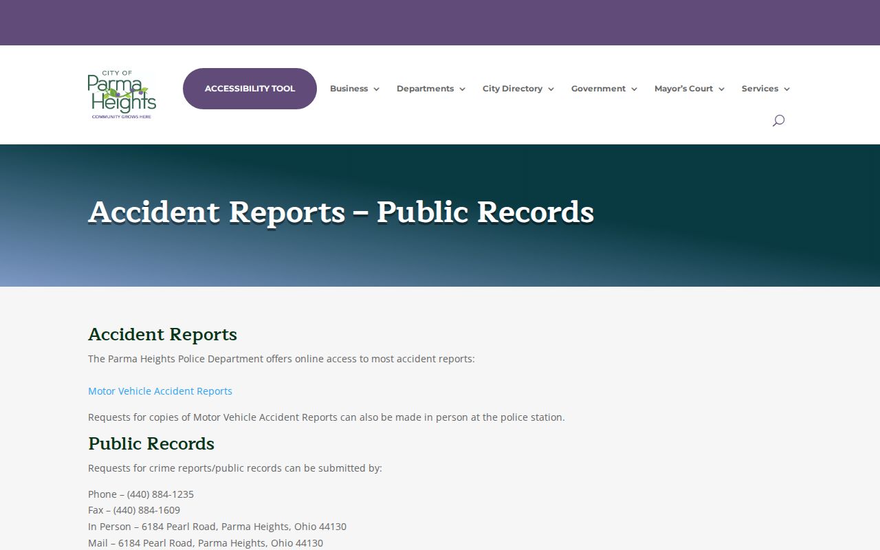
The city record channel is appropriate for a defined report or request, not a broad claim about the households around an address.
Municipal court information is also separate from parcel and map records. See the city's Mayor's Court information for the local court contact route.
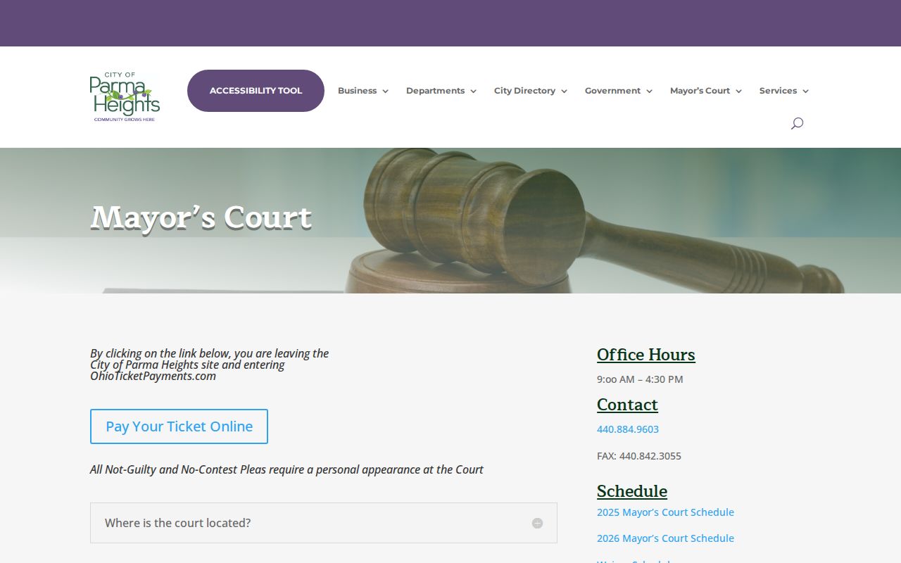
The Mayor's Court page describes a court-office path, while court-controlled records retain their own access rules and custody.
Check Parma Heights Neighbor Sources Carefully
No official Parma Heights neighborhood-association directory was located in the inspected sources. It would be inaccurate to name a Parma Heights association, boundary, member roster, or meeting record without a separately verified local source. City Council, city public meetings, library programs, and County Archives holdings can be legitimate civic or historical starting points, but none stands in for an association directory.
| Community source | What it can support | What remains unverified |
|---|---|---|
| City public meetings and departments | A specific city record, meeting material, or municipal contact path. | An association roster or a membership boundary. |
| Parma Heights library and genealogy resources | Directory, map, obituary, and collection referral research. | A current neighborhood membership list. |
| County Archives | Historic maps, tax material, and property-history context. | A modern block organization directory. |
For records-related municipal context, use the Parma Heights Law Department page alongside the department or court that actually controls the requested record.
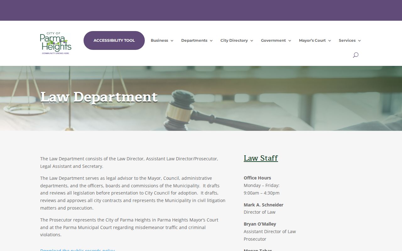
The Law Department page helps distinguish city legal context from the County Recorder, Clerk, and other custodians that hold their own records.
Note: A missing association directory is a research gap, not evidence that no local groups or informal neighborhood relationships exist.
Respect Parma Heights Neighbor Privacy
A Parma Heights block map does not expose every person connected to every address. Utility and delivery information are not a public parcel layer. Court files can be restricted or redacted. The Board of Elections identifies protected voter-related fields, and Safe at Home can provide confidential address and voter treatment for eligible Ohio participants. R.C. 149.45 also provides a route to request removal of covered personal information from an online public record. Ask the custodian about the specific record and online display rather than publishing a protected value.
For a suspicious real-property filing, the Recorder's Property Alert offers a free optional email notice for a name, entity, keyword, or selected document. The county says the service is third-party managed and provided as-is. It is an alert layer, not a guarantee that every filing has been captured.